

UNITAF Future
UNITAF

Caution

This site is a work in progress

This site is finished to different degrees. Feedback is welcome. Please bear in mind that most of what you see, if not everything, is still a work in progress.

Data from the live site is synced here every hour. Anything you do on this site stays here. It is not copied back to the live site until we switch over.

Discord and permissions are linked. Be careful with admin actions. Some of them also change Discord.

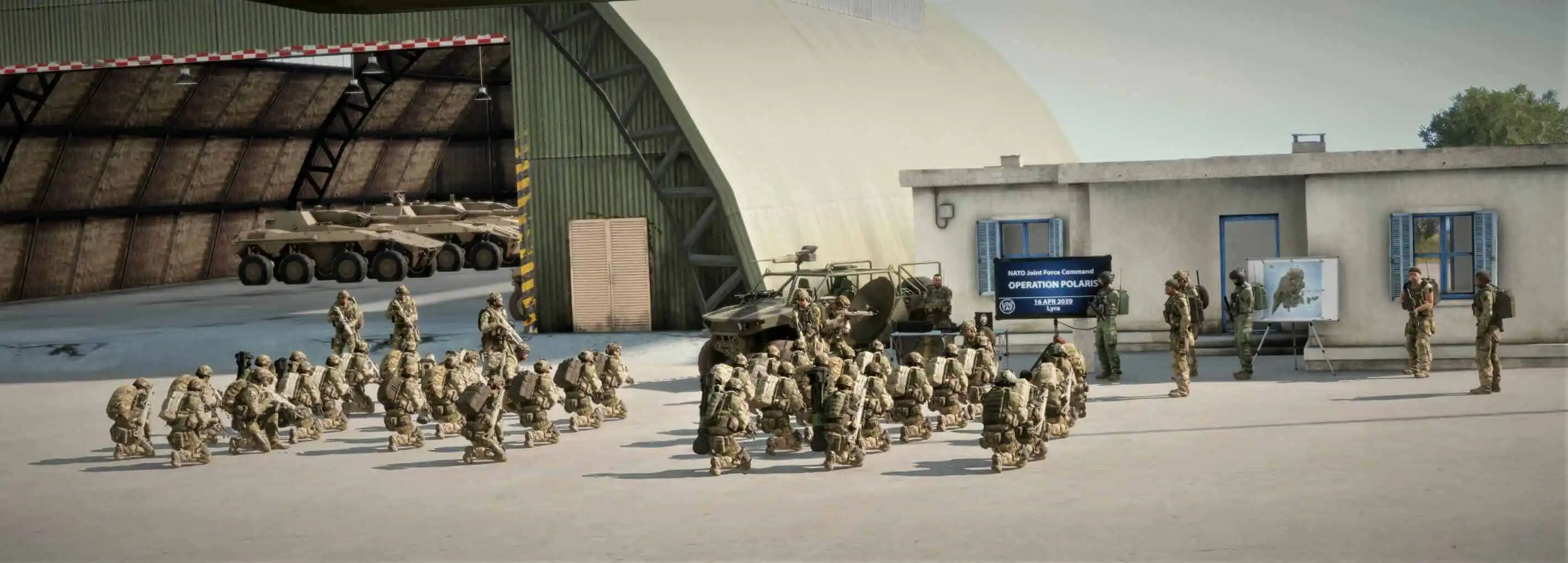
UNITAF members taking orders before an operation
Force Manual

The FM outlines our core skills, policies and guides to ensure every member stands ready for the mission ahead.

FM/G394 · Reconnaissance Fundamentals

Terrain visualisation

Passages
2
Reading time
1 min
Views
63
Owned by
Unit Command
Platforms
Every platform
Published
23 Sep 2026
On this page

Producing an annotated visual representation of key terrain

Creating an annotated visual of key terrain is simple method of giving all relevant parties a clear picture of the ground, threats, and routes. Use a sketch or photo, whatever is most appropriate.

1.Identify Key Terrain

Focus on features that affect the likely mission:

  • Elevation: Hills, ridges, depressions.
  • Obstacles: Rivers, minefields, dense woods.
  • Enemy Positions: Known/suspected locations, bunkers, OPs.
  • Approaches: Likely attack, defense, or withdrawal routes.
  • Choke Points & Dead Ground: Movement bottlenecks and unseen areas

2.  Annotate Clearly

Mark features so others can understand instantly:

  • Labels: Simple names (e.g., “Hill 234,” “Minefield”)
  • Grid Refs: Add coordinates for quick map reference.
  • Movement Routes: Friendly and enemy avenues.
  • Left/Right of Arc: Weapon and unit coverage limits.
  • Observation Points: Good positions for viewing or firing.

3. Add Useful Details

Increase clarity and utility:

  • Distances: Between key points for scale.
  • Terrain Effects: Notes on how terrain or elevation affects movement.
  • Enemy Activity: Mark any sightings or indicators.

Produce annotated tactical terrain visualisations

  • Create a visual representation of terrain using sketches, maps, or images as appropriate.
    • Identify and mark mission-relevant terrain features.
    • Annotate friendly, enemy, and neutral considerations.
    • Include movement, defence, and attack relevant information/
  • Reference terrain features using grid coordinates.
    • Maintain correct map orientation and scale where possible.
    • Mark observation sectors, weapon arcs, or movement boundaries clearly.
    • Include distances or spatial relationships between key terrain features.