
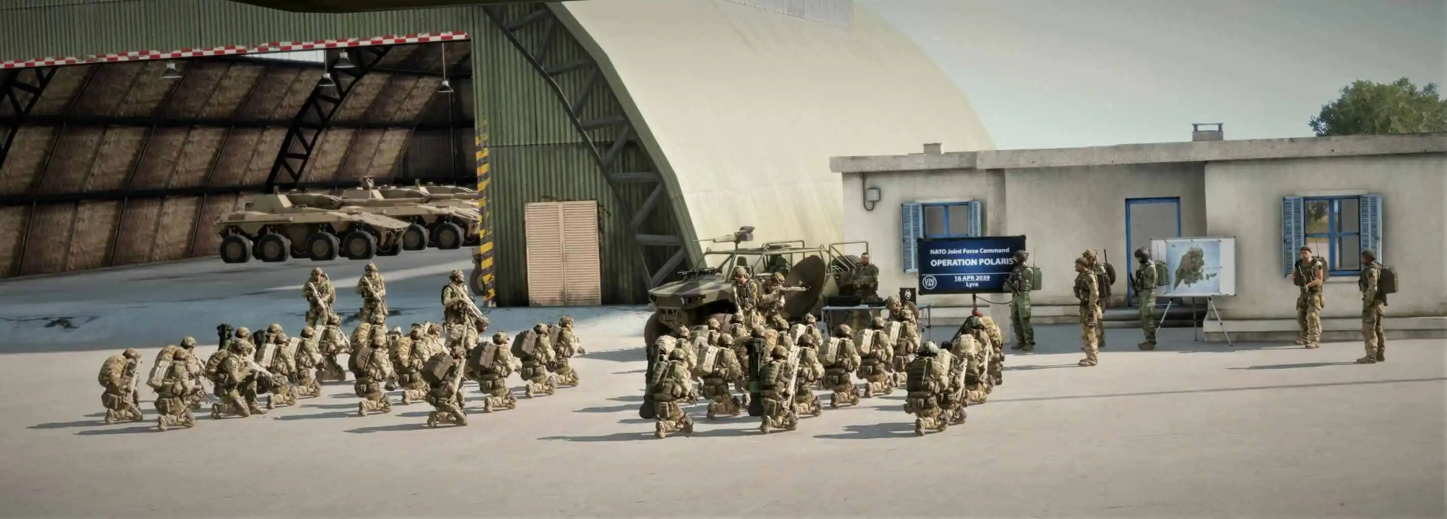

The FM outlines our core skills, policies and guides to ensure every member stands ready for the mission ahead.
FM/BS-1815 · v1.01
Produce annotated tactical terrain visualisations
- Code
- FM/BS-1815
- Kind
- Skill
- Version
- v1.01 2mos ago
- Views
- 132
- Platforms
- As its document
- Published by
- Cpl Ross 27 Jul 2026
- Last material change
- v1.00 Initial Version
32 words added, 1 word removed.
v1.00
Create a visual representation of terrain using sketches, maps, or images as appropriate.Identify and mark mission-relevant terrain features.
Annotate friendly, enemy, and neutral considerations.
Include movement, defence, and attack relevant information.
v1.01
Create a visual representation of terrain using sketches, maps, or images as appropriate.Identify and mark mission-relevant terrain features.
Annotate friendly, enemy, and neutral considerations.
Include movement, defence, and attack relevant information/
Reference terrain features using grid coordinates.Maintain correct map orientation and scale where possible.
Mark observation sectors, weapon arcs, or movement boundaries clearly.
Include distances or spatial relationships between key terrain features.
Create a visual representation of terrain using sketches, maps, or images as appropriate.Identify and mark mission-relevant terrain features.
Annotate friendly, enemy, and neutral considerations.
Include movement, defence, and attack relevant information. information/
Reference terrain features using grid coordinates.Maintain correct map orientation and scale where possible.
Mark observation sectors, weapon arcs, or movement boundaries clearly.
Include distances or spatial relationships between key terrain features.
Where it appears
Lives in
FM/G394 Terrain visualisationOn role cards
No role card holds this passage yet.