
UNITAF Future
UNITAF

Caution

This site is a work in progress

This site is finished to different degrees. Feedback is welcome. Please bear in mind that most of what you see, if not everything, is still a work in progress.

Data from the live site is synced here every hour. Anything you do on this site stays here. It is not copied back to the live site until we switch over.

Discord and permissions are linked. Be careful with admin actions. Some of them also change Discord.

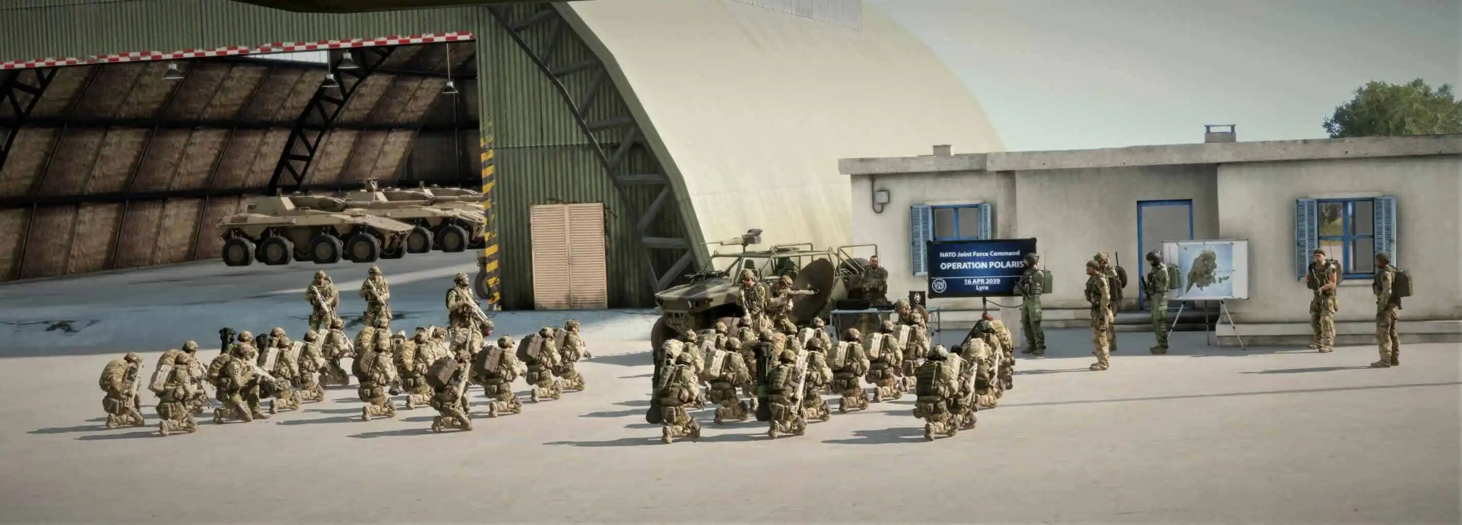
UNITAF members taking orders before an operation
Force Manual

The FM outlines our core skills, policies and guides to ensure every member stands ready for the mission ahead.

FM/G247 · Navigation

Map and tools for fire support

Passages
4
Reading time
1 min
Views
70
Owned by
Unit Command
Platforms
Every platform
Role cards
14 cards
Published
23 Sep 2026
On this page

Using map tools to determine an accurate 8 figure grid reference

Map tools can be used to more accurately determine 8 figure grid references. To do so, follow the procedure:

  1. Deploy the map tool and align it to North.
  2. Place the 0 mark of the grid tool on the target point.
  3. Read the 4th digit of the easting from the left ruler.
  4. Read the 4th digit of the northing from the bottom ruler.
  5. Append both digits to the 6-digit grid.

The grid can now be transmitted using the Read an eight-figure grid reference FM/BS-477.
Determine an 8-figure grid reference using the map tools

Use map tools to get a grid reference accurate to 10metres.

Using map tools to accurately determine an azimuth and distance

Map tools can be used to more accurately determine azimuth and distance. To do so, follow the procedure:

  1. Deploy the appropriate map tool.
  2. Move the centre dot to the first point.
  3. Rotate the tool to align the lead line with the second point.
  4. Read the azimuth in degrees or mils.
  5. Align the 0 mark of the ruler with the first point.
  6. Measure the distance in meters to the second point.

You now have an accurate azimuth and distance.

Using a plotting board to accurately determine an azimuth and distance

A plotting board can be used to more accurately determine azimuth and distance. To do so, follow the procedure:

  1. Centre the plotting board on the origin point.
  2. Rotate the base board or ruler to intersect the target point.
  3. Read the azimuth using the Vernier scale.
  4. Measure the distance using the plotting grid.
  5. If the target is over 3km away, use the lower-left origin.

You now have an accurate azimuth and distance.

On role cards