
UNITAF Future
UNITAF

Caution

This site is a work in progress

This site is finished to different degrees. Feedback is welcome. Please bear in mind that most of what you see, if not everything, is still a work in progress.

Data from the live site is synced here every hour. Anything you do on this site stays here. It is not copied back to the live site until we switch over.

Discord and permissions are linked. Be careful with admin actions. Some of them also change Discord.

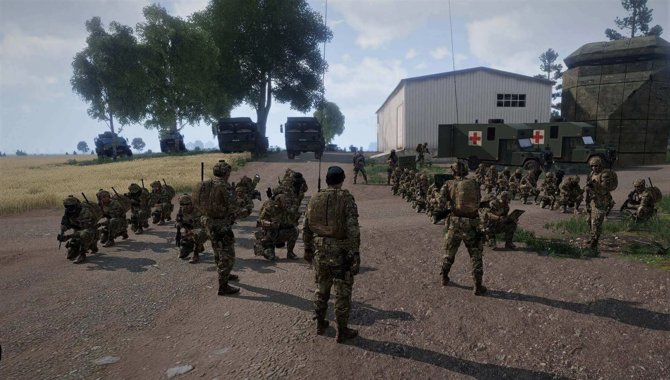
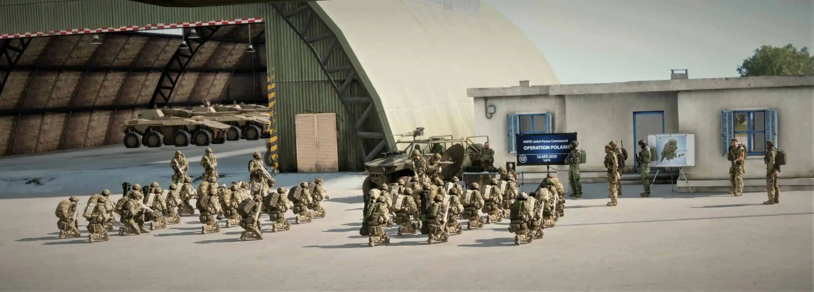
UNITAF members taking orders before an operation
Force Manual

The FM outlines our core skills, policies and guides to ensure every member stands ready for the mission ahead.

FM/BG-1269 · v1.01

Using map tools to accurately determine an azimuth and distance

Code
FM/BG-1269
Kind
Guide
Version
v1.01 1yr ago
Views
169
Platforms
As its document
Published by
Cpl Ross 19 Sep 2025
Last material change
v1.00 Initial

Using map tools to accurately determine an azimuth and distance

Map tools can be used to more accurately determine azimuth and distance. To do so, follow the procedure:

  1. Deploy the appropriate map tool.
  2. Move the centre dot to the first point.
  3. Rotate the tool to align the lead line with the second point.
  4. Read the azimuth in degrees or mils.
  5. Align the 0 mark of the ruler with the first point.
  6. Measure the distance in meters to the second point.

You now have an accurate azimuth and distance.