
UNITAF Future
UNITAF

Caution

This site is a work in progress

This site is finished to different degrees. Feedback is welcome. Please bear in mind that most of what you see, if not everything, is still a work in progress.

Data from the live site is synced here every hour. Anything you do on this site stays here. It is not copied back to the live site until we switch over.

Discord and permissions are linked. Be careful with admin actions. Some of them also change Discord.

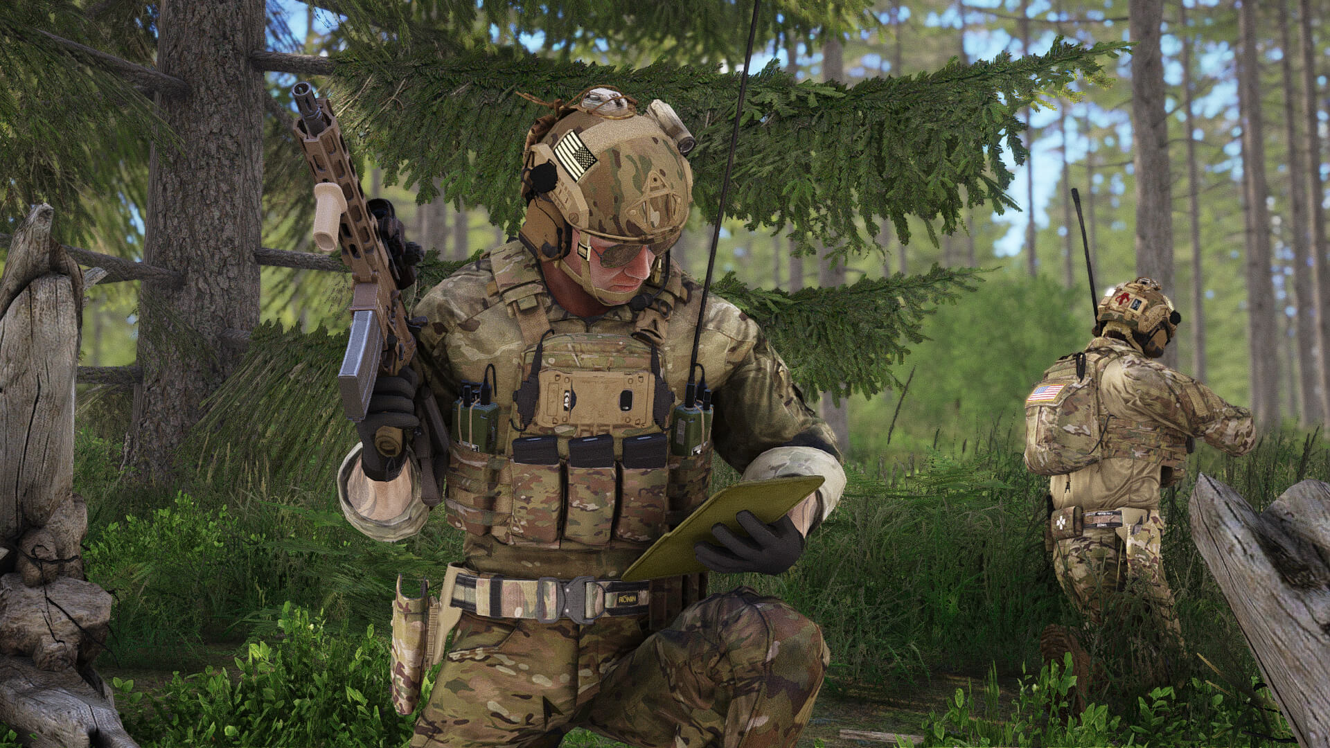
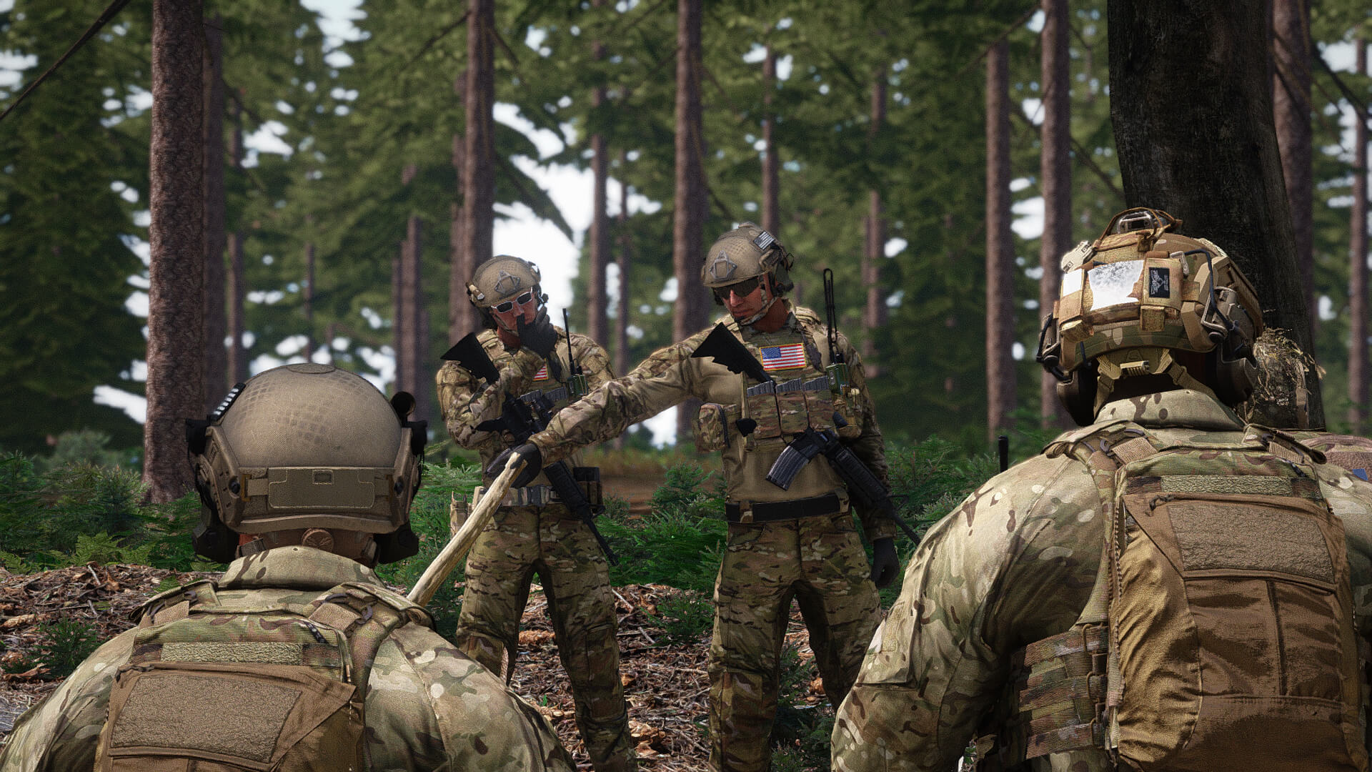
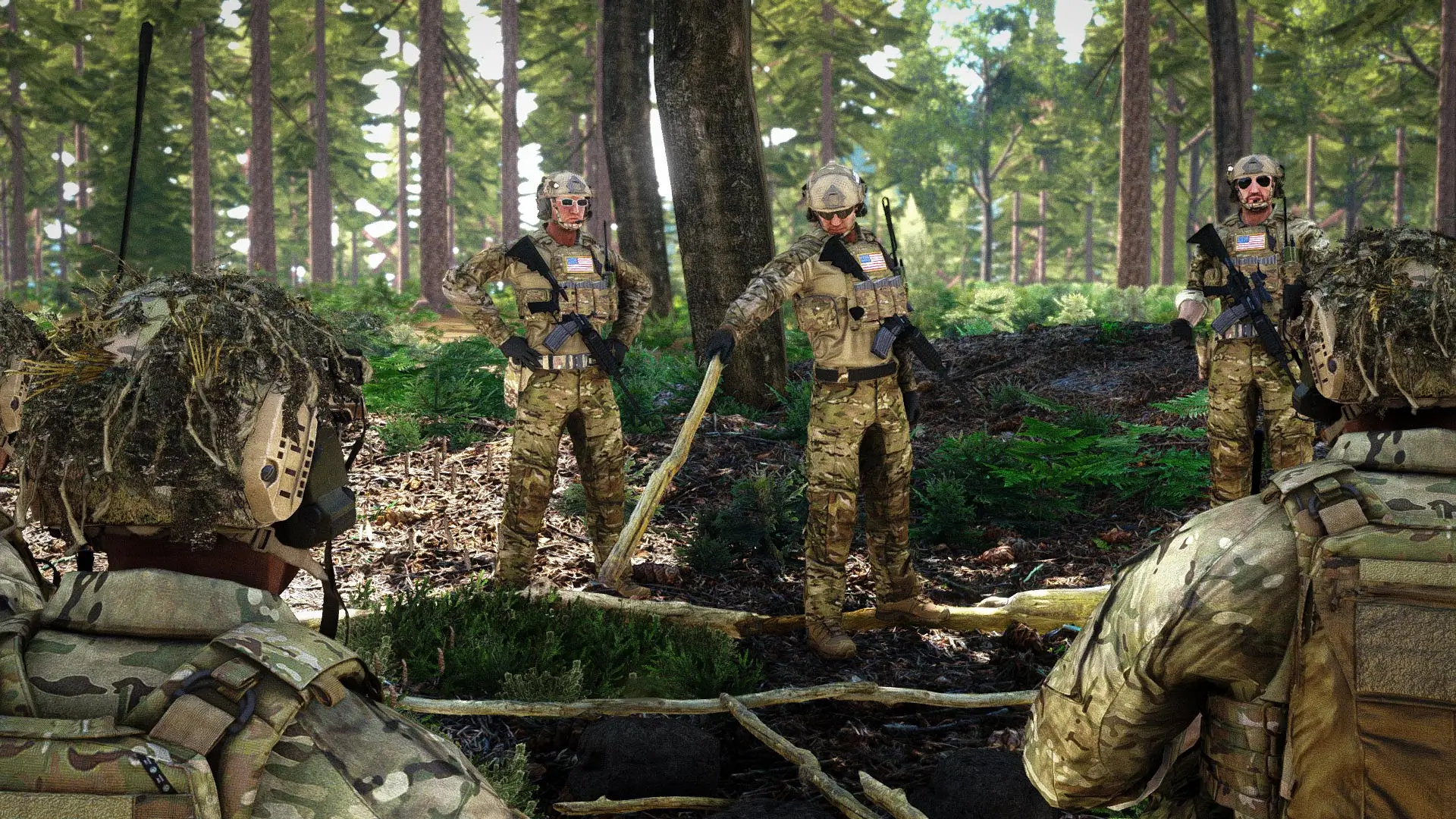
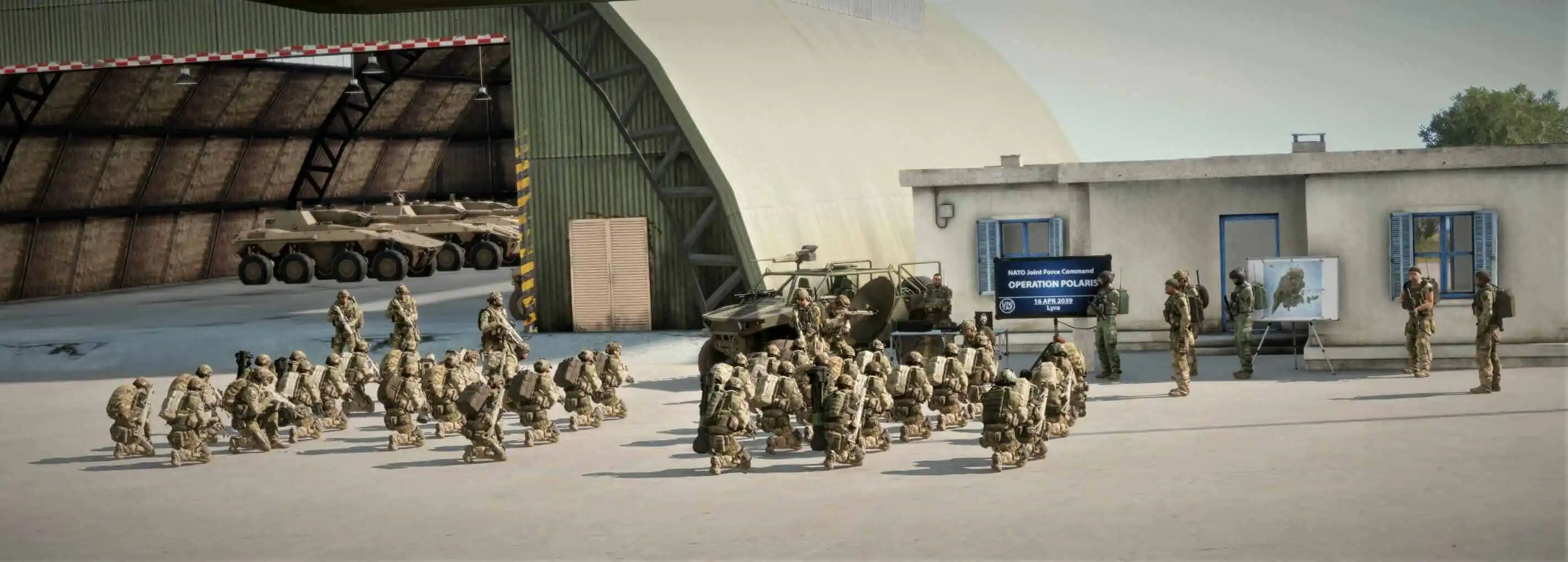
UNITAF members taking orders before an operation
Force Manual

The FM outlines our core skills, policies and guides to ensure every member stands ready for the mission ahead.

FM/G328 · Navigation

Terrain features

Passages
7
Reading time
1 min
Views
78
Owned by
Unit Command
Platforms
Every platform
Role cards
22 cards
Published
23 Sep 2026
On this page

Understanding terrain features

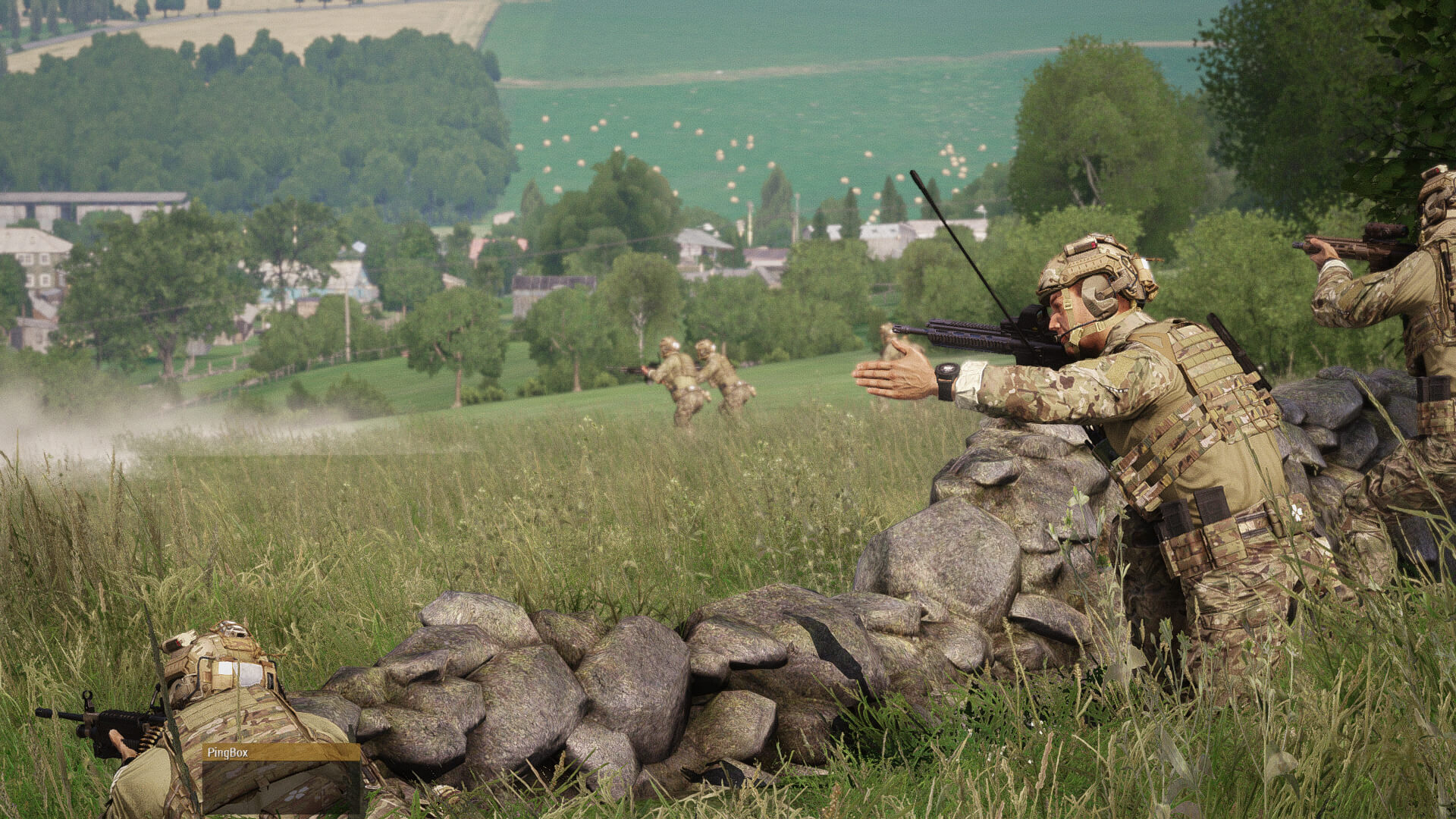
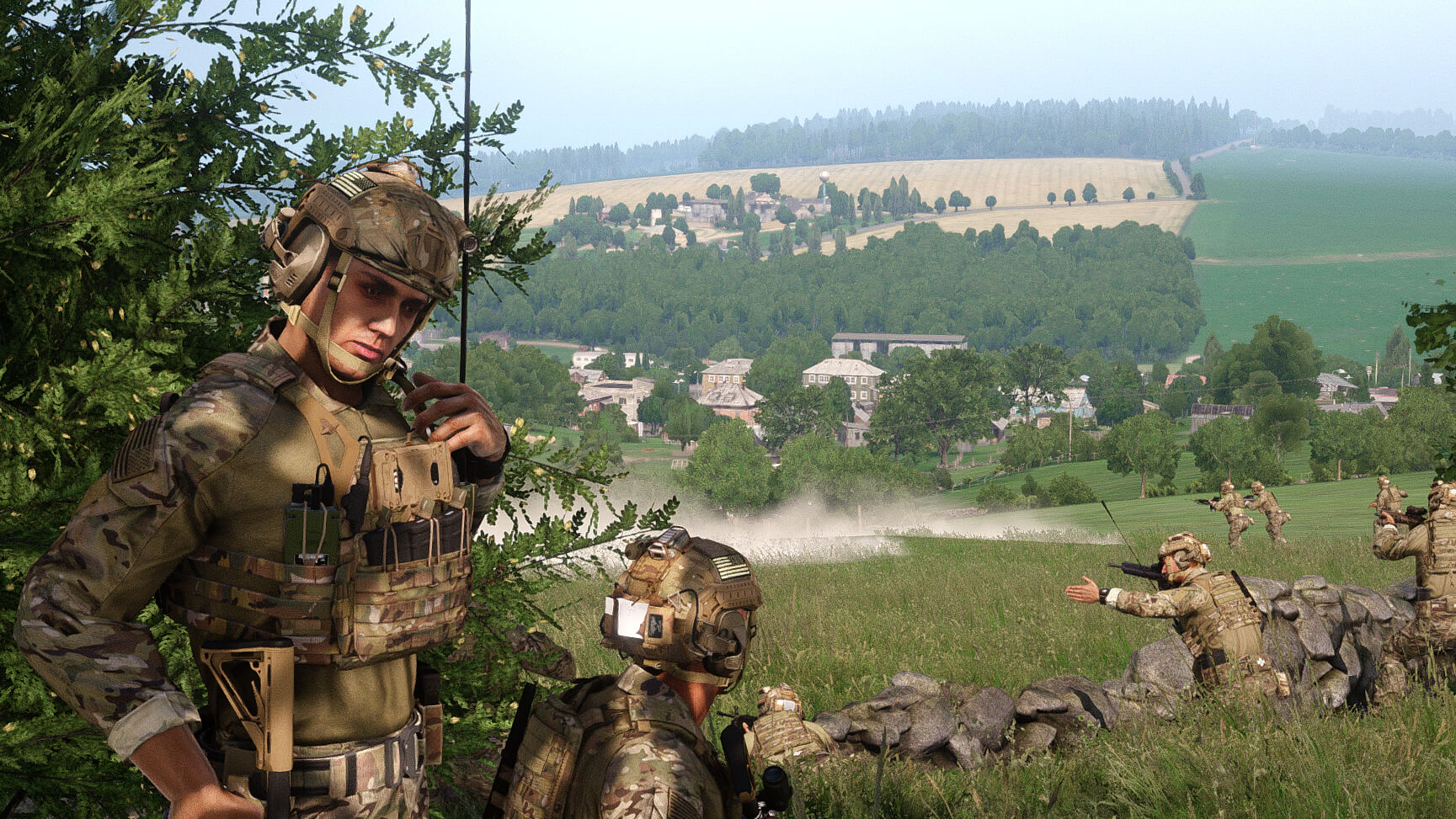
Understanding terrain is essential for tactical movement. Terrain influences movement, observation, cover, and concealment.

  • High ground provides superior observation and firing positions; ideal for overwatch, observation posts (OPs), and fire support.
  • Low ground offers concealment but limits visibility and increases risk from enfilade fire.
  • Ridges and hills offer a balance of cover and visibility; reverse slopes protect from direct fire.
  • Valleys and depressions allow concealed movement but increase ambush risk; difficult to observe externally.
  • Water features may restrict movement; bridges and fords become critical control points.
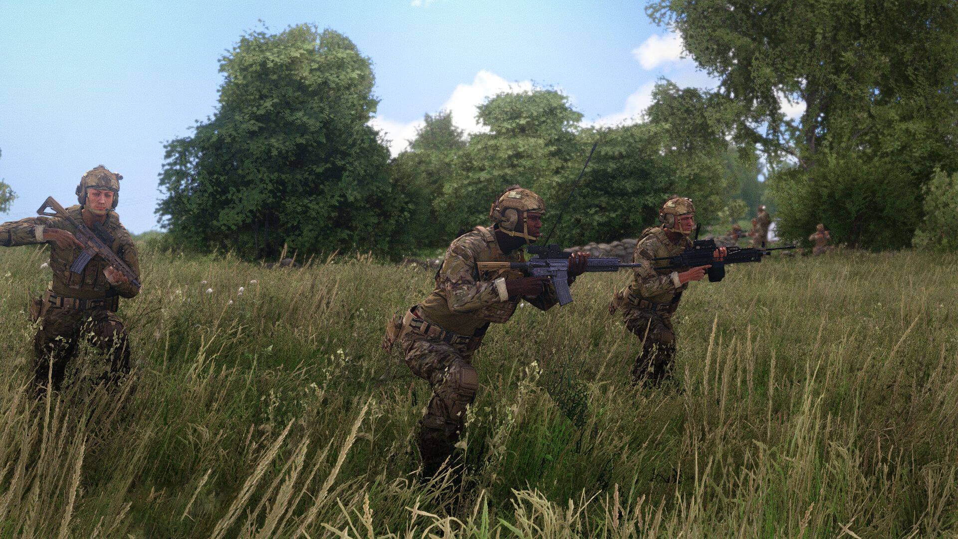
  • Forests and woodblocks provide concealment and cover; facilitate stealth movement.
  • Open terrain increases exposure but allows rapid movement if supported by fire or smoke. 
Recognise geographic features on a map

  • Identify hills, valleys, ridgelines, depressions, rivers, and forests.
  • Assess their impact on observation, cover, and movement.
  • Distinguish natural obstacles from man-made features. 

Identify dead ground and observation lines

  • Locate concealed areas hidden from enemy observation (dead ground).
  • Identify optimal observation points for overwatch and surveillance.
  • Evaluate exposure risks and blind spots on terrain. 

Identify natural and man-made obstacles

  • Detect rivers, cliffs, fences, walls, and urban structures.
  • Assess obstacle impact on infantry, vehicles, and logistics movement.

Plot movement routes using terrain analysis

  • Choose routes providing cover and concealment.
  • Avoid known or suspected danger areas and obstacles.
  • Consider terrain slope, vegetation, and obstacles on movement speed and safety. 

Perform line-of-sight (LOS) checks on a map

Perform LOS checks to determine visibility between observer and target.

  1. Identify observer and target positions.
  2. Compare elevations via contour lines or shading.
  3. Assess terrain or structures blocking visibility.
  4. Determine visible portion of the target area.
  5. Annotate arcs, dead ground, and blocked areas on the map. 

Estimate travel time for dismounts

Measure straight-line distance using the map scale and convert it with grid tools.

  • Use ~10 km/h as baseline  speed on flat, open terrain.
  • Adjust for terrain:
    •  Roads / open ground: maintain ~10 km/h.
    •  Hills, forests, etc reduce speed by: -30–50% speed.
  • Add time for obstacles (fences, rivers, buildings) requiring detours or crossings.
  • Adjust for unit load and type, as weight and role affect movement speed.
  • Compute travel time: distance ÷ adjusted speed.

On role cards

Next in Navigation

FM/G329 Map symbology